La Nina Will Cause More Rain To Fall On South-East Asia, Don’t Forget To Bring Your Umbrellas Out
The weather this month has been kinda topsy-turvy, with heavy rain bringing aircon weather but some warmer days too.
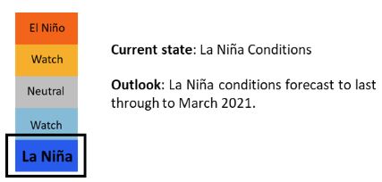
Well, those who love cooler weather will be grateful that it may last till as long as Mar 2021, thanks to the climate phenomenon known as La Nina.
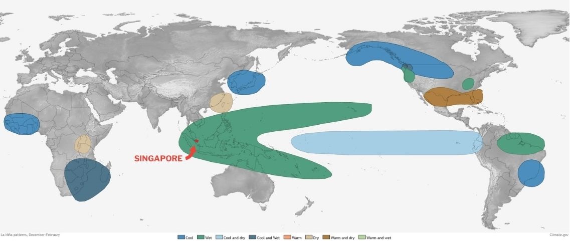
La Nina increases the likelihood of more rain than usual falling across South-east Asia, and such conditions were observed this month.
La Nina is the opposite of El Nino
Some may be familiar with the El Nino phenomenon, which is when the surface winds across the entire tropical Pacific Ocean are weaker than usual or even occasionally reverse.
That results in a warming of global temperatures as the amount of cold water that is coming to the surface is reduced.
La Nina often has the opposite effect — as the surface winds are stronger than usual, most of the tropical Pacific Ocean is cooler than average.
The cold pool of sea water causes sinking of air in the atmosphere which then moves westward towards the western Pacific, including Southeast Asia.
The air stream is moisture-laden; if it’s forced to rise near Singapore, our weather will become very wet.
La Nina conditions currently indicated
They are watched by the El Niño Southern Oscillation (ENSO) monitoring system, which can be in 3 states: El Nino, Neutral, or La Nina.
The ENSO monitors indicators that measure sea surface temperatures, low-level winds and cloudiness over the tropical Pacific Ocean.
According to an update by the Meteorological Service Singapore (MSS), the ENSO indicated moderate La Nina conditions in Nov.
These La Nina conditions are forecast to last until Mar 2021.
Sea surface temperature anomaly in La Nina range since Aug
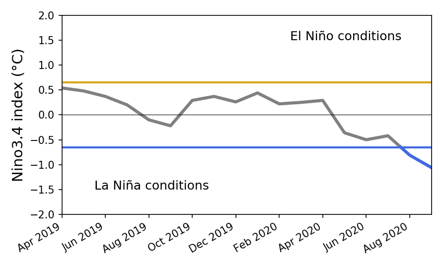
One of the main indicators for the ENSO is the Nino3.4 index.
It measures the average sea surface temperature anomaly in the region from 5°N to 5°S and from 170°W to 120°W.
The index shows that from Apr 2019 to Aug 2020, conditions were neutral.
However, from Aug till now, the index has fallen into the La Nina range, and has gone lower since then.
La Nina conditions are considered to be present when the anomalies that are in the colder range persist for at least 4 months below the threshold.
La Nina expected to be moderate to strong
The World Meteorological Organisation (WMO) has already declared that La Nina has developed.
There’s a 55% chance that tropical Pacific sea surface temperatures will remain at La Nina levels through to the 1st quarter of 2021, it added.
The La Nina this year is expected to be moderate to strong.
The last time a strong La Nina occurred was in 2010-2011. There was also a moderate La Nina in 2011-2012.
Rain prediction for last 2 weeks of Nov was accurate
In an update on 16 Nov, the National Environment Agency (NEA) warned that the 2nd half of Nov would see more rainy weather.
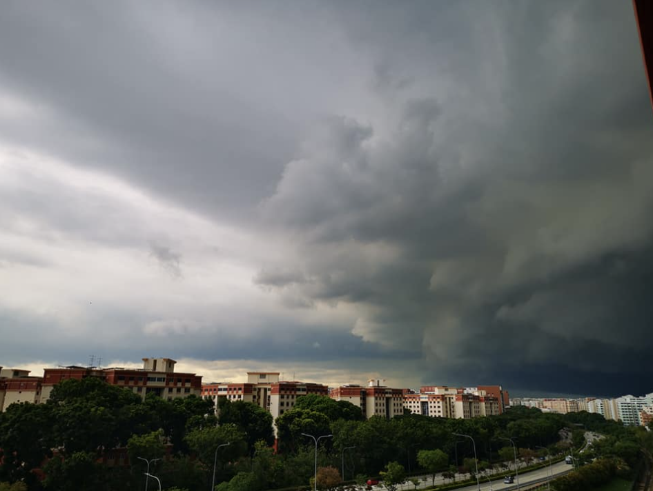
They were proven right, with many days in the last 2 weeks seeing cloudy skies and pouring rain.
As we come to the end of Nov and into Dec, we’re also expecting the Northeast Monsoon to visit us, as it always does.
This, coupled with the La Nina conditions, should mean that we shouldn’t forget our umbrellas when we head out.
A delight for those staying home
Though rain can be an inconvenience to some, especially those who don’t like to carry umbrellas, for those who plan to stay at home it can be a delight.
There’s nothing better than curling up in bed with a good book or some Netflix, and the upcoming rainy days mean that you won’t even need to turn on your aircon to be comfortable.
So let’s look forward to the naturally cool weather as a time to spend the Christmas season at home after a long, stressful year.
Have news you must share? Get in touch with us via email at hello@mustsharenews.com.
Featured image adapted from Lily Banse @ Unsplash.


